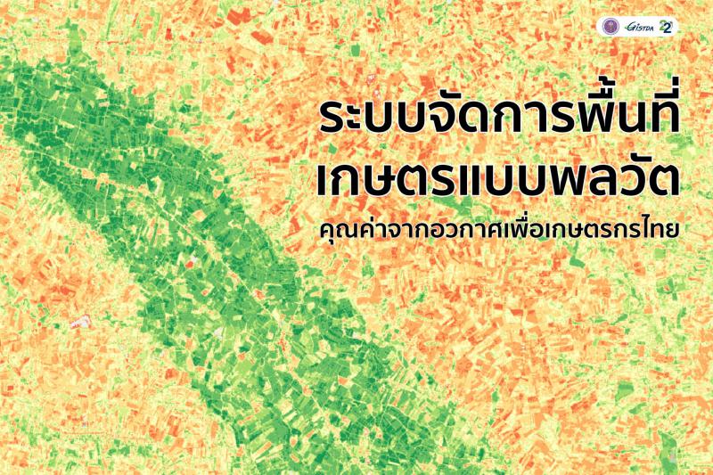
The dynamic farmland management system, the value from space for Thai farmers
.
It is well known that Thai agriculture is facing problems every season for its agriculture. Be it from problems of higher cost, lower price of products, over demand and supply, natural disaster, diseases, and pests from climate change which causes lack of income and debt. But what if space innovation can alleviate this problem using satellite data?
.
At present, there is a push to develop the agricultural sector’s potential that focuses on increasing both quantitative and value production. By arranging agricultural areas (Agro Zoning) and applying proactive management systems to manage the production of agricultural products to suit the area.
.
The zoning management of agricultural areas is the categorization of agricultural production areas into groups. This is based on the category of soil, rain, water management, and cost of agricultural production to plan for agricultural development in the long run which will lead to sustainable and efficient natural resource usage by giving importance to products that suits the area.
.
Moreover, technology and innovation also support smart farming and precision agriculture. This is to increase the efficiency of production factors, raw materials, and natural resources that will prevent loss of production cost to prepare for weather change effects. In overall, this is to support farmers to have a better income, well-being, as well as sustainable development for agriculture.
.
Satellite data has the potential to be a geospatial resource that provides detailed information on Earth's surface cover and climate data. In addition, the increasing number of earth observation satellites has an increased frequency making the data modern and more relevant to reality in the world of change called the "Dynamic system" in which agriculture is one of the dynamic systems of the world that never stops and is constantly changing
.
For many years, GISTDA brings space technology and geospatial to adapt to the agricultural sector successfully which gain acceptance from relevant agencies. Therefore, to step into another level of service, the dynamic system is then developed by using technology and geospatial that are mixed with geospatial big data. At this point, this brings more data to agricultural analysis to suit products with suitable areas and seasons and to track their growth. The system has strength in terms of offering modern data and location accuracy.
.
The basic concept of developing an “agricultural dynamic system” is to support public and private sectors as well as the department of academic affairs and farmers to have access to agricultural data with higher efficiency to be able to manage agriculture better with mutual understanding about determining the appropriate extent of the area for planting crops before the start of each growing season, monitoring, and analyzing the condition of the plants between planting until harvesting.
.
The function of the “Dynamic Agricultural Land Management System” will link physical data (plants, water, soil, weather, and natural disasters), economic and agricultural data to be in the form of geospatial big data to analyze suitable areas for specific plants on seasons such as rice, corn, cassava, and sugarcane.
.
Another important thing about the “Dynamic Agricultural Land Management System" is that there is a correlation with regional weather data to forecast the weather conditions that may affect the growing season to reduce the risk for farmers. In addition, during farming, satellite imagery is used to monitor the situation of the cultivated area. This includes monitoring the health and maturity of crops throughout cultivation until harvest.
.
The data from this dynamic system will benefit in creating directions and policies related to farming so the farmers can use the data to support their decision-making both in the economic and social dimensions. This will improve the efficiency of management and sustainable income for farmers.
.
A dynamic farmland management system is now under development. It is expected to be completed by September 2022 with the intention that innovations in geospatial technology will enable Thai farmers to plan production and make the accurate decision in terms of time and area which will reduce problems and help leverage agriculture precision and eventually this will help Thai farmers have better lives from the value of space.
.
#GISTDAinits22ndyear #GISTDA #GISTDA #Space #DynamicAgricultureAreaManagementSystem #Solvingfarmersproblems #Innovativespaceforagriculture #productoversupply #Climatechange #Arrangementof agriculturalarea #Smartagriculture #preciseagriculture