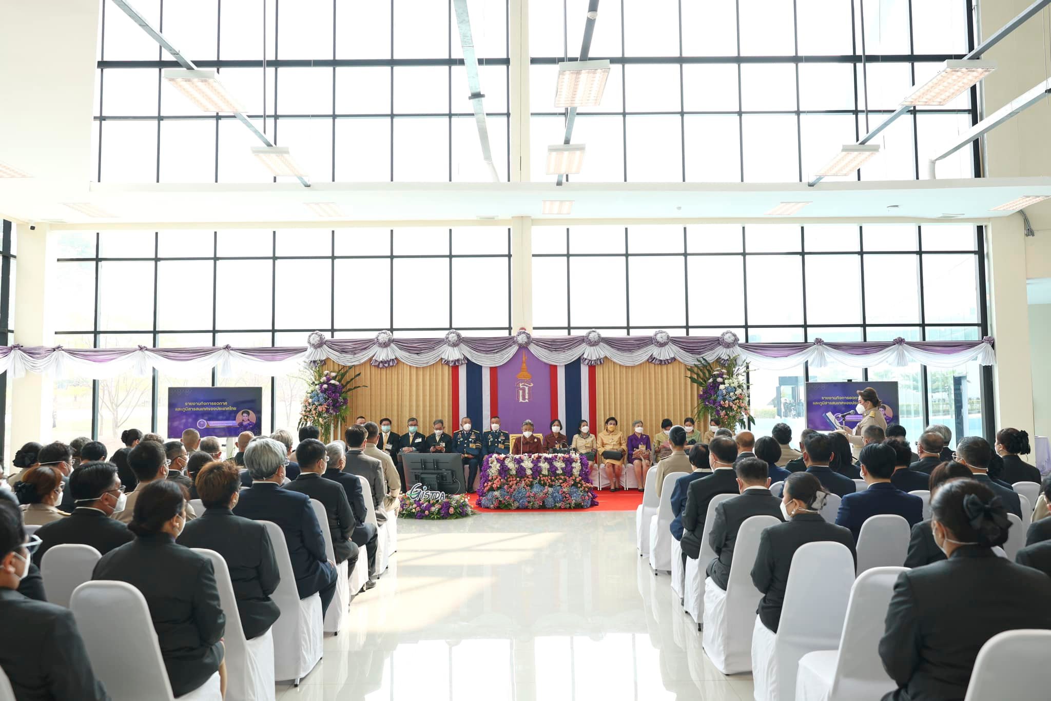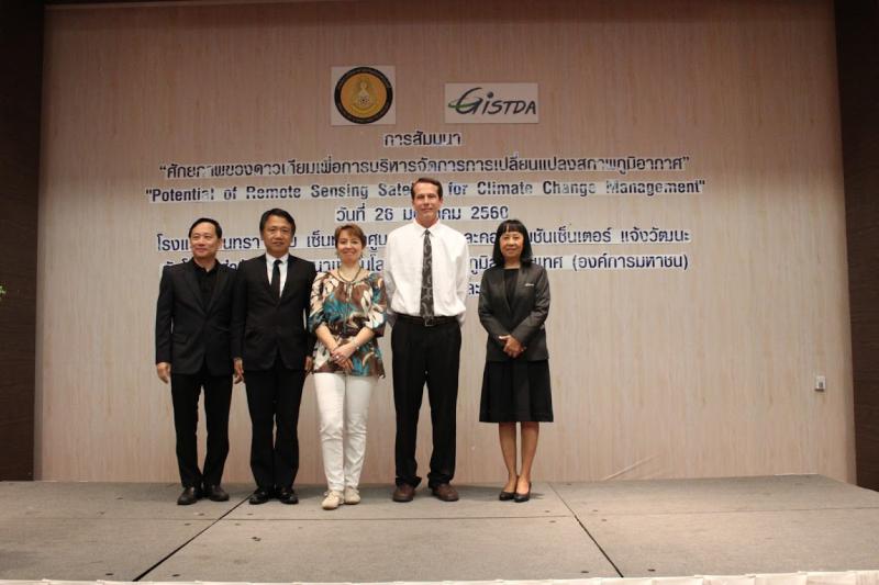
On January 26, Geo-Informatics and Space Technology Development Agency (Public Organization) AKA GISTDA, Ministry of Science and Technology has organized a seminar on “Satellite’s capability for managing the change of climate,” joining by the specialist, academician, and representative from various relevant sectors to exchange data and opinion on utilizing the beneficial use of satellite data on managing the change of climate.
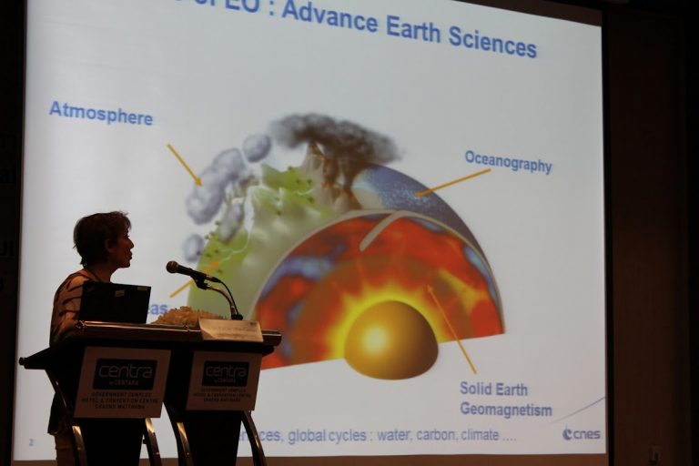
Ms.Supapis Polngam, Deputy Director of GISTDA has revealed that the climate change is an important world-class issue which many countries are encountering. Scientists from many countries have predicted that there will be climate change within 2100 that might affect Gross Domestic Product on 7 percent declining per year in Southeast Asia countries, which has severe effect on food and resource security. As for Thailand which is agricultural country, any format change of climate; increasing temperature, season variability, or rain scatter, will directly affect on the reducing of agricultural production quantity which causing a great economic and social loss of the country. Even though climate change will slowly occur, it could interlock the severe change and causing wide damage which is hard to fix, for example, spread out of insect, epidemic, storm, flood, drought, and natural resource decadent, etc. Therefore, it is essential to analyze variability and change of climate to evaluate the effect in order to prepare and adjust, and also to protect the potential effect.
Ms.Supapis also added that it requires cooperation from all sectors to be prompt in adjusting in order to reduce the lost and effect of climate change. And it is necessary to utilize integrated knowledge including reliable, correct, and up-to-date spatial data through systematical assessment and synthesis of data for supporting the decision and planning both in policy and execution term. Therefore, using spatial data which has already been continuously examined, for example, research on climate science using national and international satellite data in order to analyze the change of various climate variables both on the ground and in the atmosphere will help clearly understanding and seeing the whole picture of climate change in various ways. By doing this, many relevant sectors such as government, private, and institution could use in developing satellite data for managing climate change to suite the user’s need. It effectively helps increasing the ability in analyzing, preparing, and adjusting to the change of climate and natural disaster nationally and internationally.